Subscribe to our e-newsletter!
If you are looking for Hungarian events, great recipes, cultural connections, and encouragement as you celebrate your Hungarian heritage, we are here to help! We will never share or sell your data.


$30.00
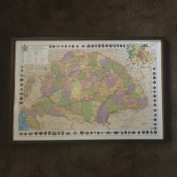
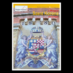
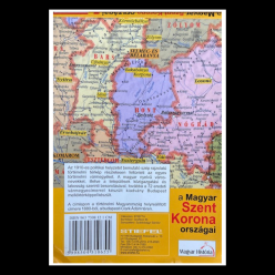
This folded map contains the Austro-Hungarian empire with counties, county crests, and many villages listed. If your family left Hungary before World War I and you know the names of their villages, you will get a sense of where they lived with respect to the borderlines of that time. In 1920, the shape and boundary lines of Hungary drastically changed which is part of what has made genealogy work so difficult today. You should consider learning about the Treaty of Trianon if you are not familiar with this event. First class shipping is included with this price.
We do carry a rolled, laminated map of the Austro-Hungarian Empire from this time frame if you do not want to have a folded one. Our laminated map also has the boundary lines of the current borders of Hungary. The folded map does not have that feature.
8 in stock
Accessories

Accessories
Accessories
Accessories

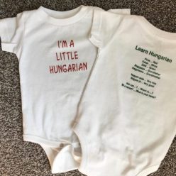
Apparel
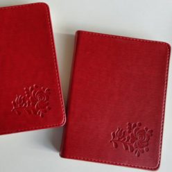
Accessories

Apparel

Books
Accessories

Accessories
Apparel

Apparel

8 in stock